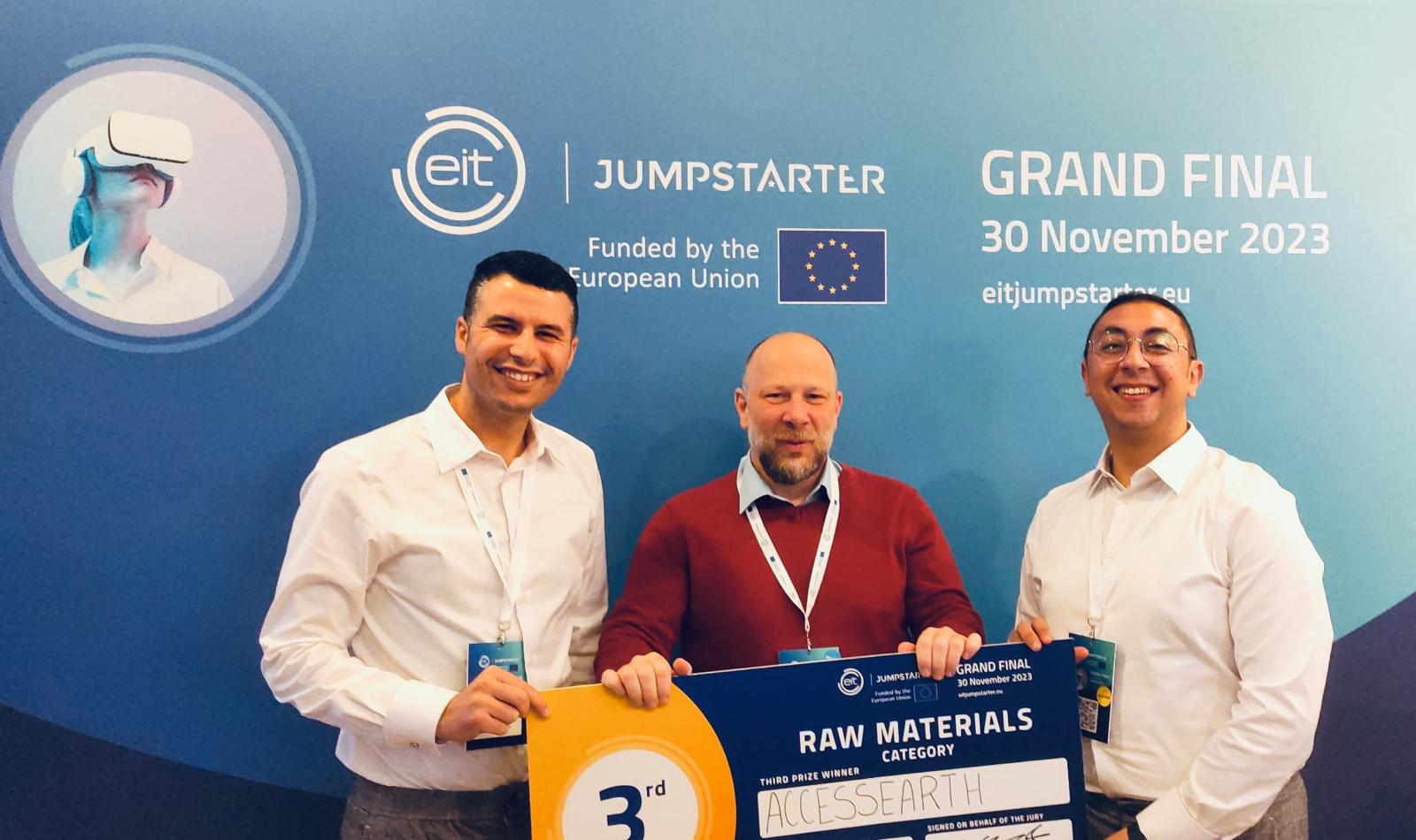
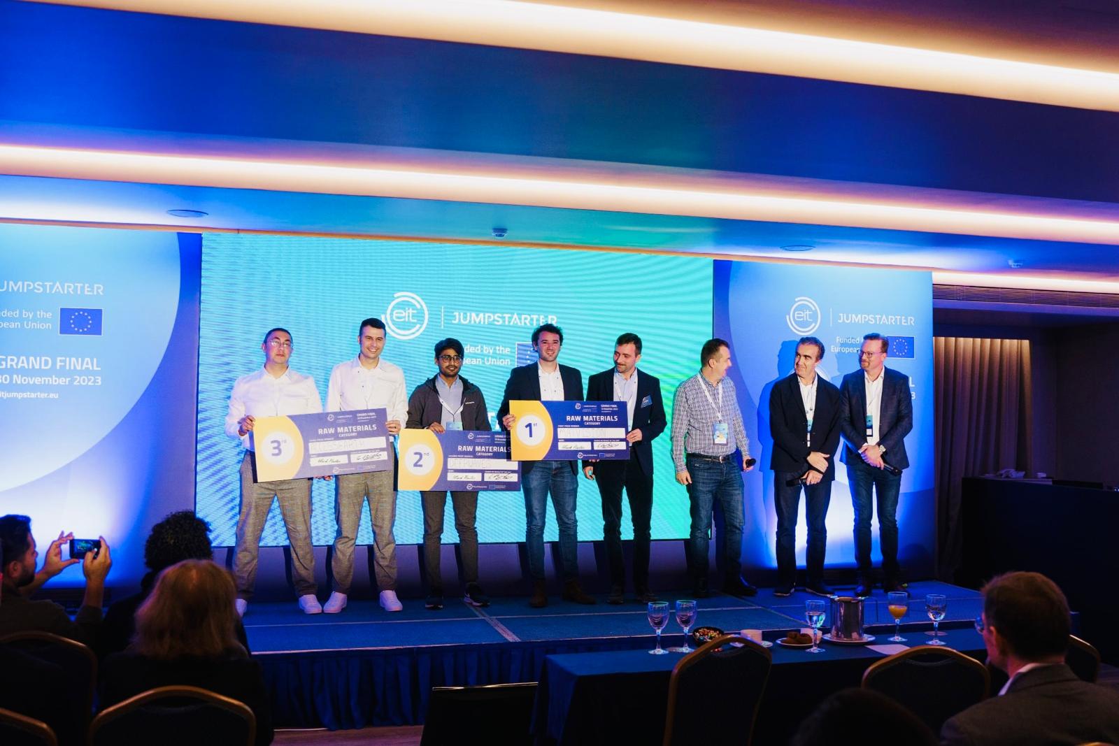
Journey began
AccessEarth
AccessEarth gained European
recognition, securing third place
in the Raw Materials sector
of the 2023 EIT
Jumpstarter—one of Europe’s
leading programmes for
early-stage innovators.
About AccEARTH
AccEARTH is an innovative cloud-based geoscience platform designed to transform how we explore and understand the Earth’s resources. By integrating satellite, geophysical, and geological datasets within a unified digital environment, AccEARTH enables advanced modeling of mineral systems, critical metal potential, and geological frameworks. The platform combines scientific precision with AI-driven analytics to deliver fast, scalable, and data-informed exploration insights — empowering smarter decisions for sustainable resource development.
About Founder
AccessEarth Easy To Use Huge Of Services

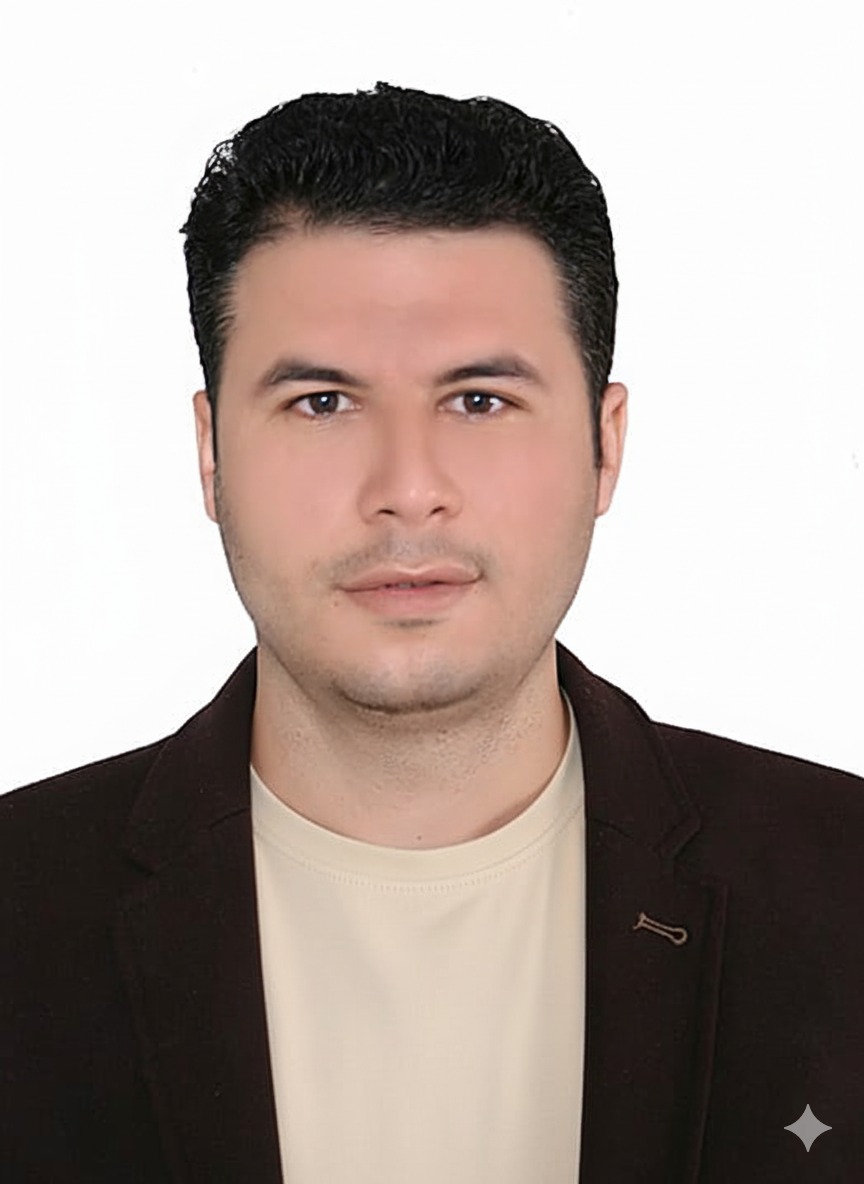
Mohamed Badawi, PhD – Founder & Lead Developer
Dr. Mohamed Badawi is a geoscientist specializing in structural geology, remote sensing, and mineral systems modeling. As the founder and primary developer, he leads the design and development of the platform’s scientific methodology, integrating satellite imagery, geophysical surveys, and geological datasets to build predictive models for detection of potential mineralization.
Ali Shebl, PhD – Co-Founder & Co-Developer
Dr. Ali Shebl is a geoscientist specializing in remote sensing, machine learning, geophysical modeling ,and multisource data integration. As co-founder and co-developer, he plays an essential, integrative role, applying and refining the methodology on the platform, ensuring that the multisource datasets are effectively fused, analyzed, and transformed into actionable exploration solutions.
Our Vision
To lead the advancement of virtual reality and 3D modeling solutions that transform exploration and resource management of critical and strategic minerals in the mining industry.
Value
AccEARTH is designed to deliver fast, scalable, and data-informed exploration insights, combining scientific precision with AI-driven analytics. The ultimate goal is empowering smarter decisions for the sustainable resource development .
Mission
AccEARTH is an innovative cloud-based geoscience platform whose mission is to transform how we explore and understand the Earth’s resources. It achieves this by integrating satellite, geophysical, and geological datasets within a unified digital environment.
Ready To Start Your journey
Just create an account on our site and start.